The Wallula Gap was one of the deepest places during the flood. It is estimated to have been 1250 feet deep.
http://www.iinet.com/~englishriver/Lewi … loods.html
In the image below, we see erosion all the way to the top of the gap:
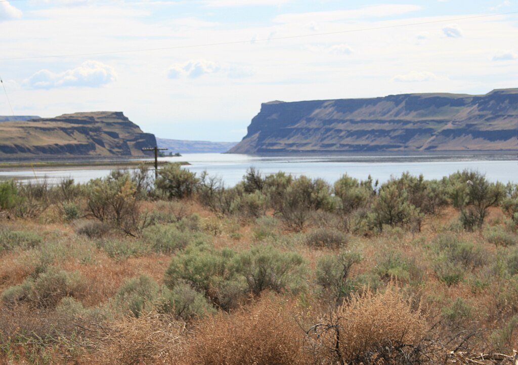
Yet, it was also one of the narrowest points in which the flood flowed through:
Though I haven’t seen anyone propose this, I theorize that Wallula Gap was created during the flood. Water had filled up the entire area of the Channeled Scablands north of Wallula Gap. And Wallula Gap was not a gap at all, but a dam that held all the water back. Then the water pressure eventually broke through the mountain and created Wallula Gap.
If we look at the area of the Channeled Scablands, it looks like the entire area was a giant lake, then the lake got unplugged at Wallula Gap. As the water receded, it caused the curved erosion patterns we see now.
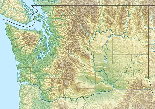
So, the Channeled Scablands was not caused by an ice dam and the Missoula Flood, but rather, a lake dam failure where it broke through at the Wallula Gap.
https://debatingchristianity.com/forum/viewtopic.php?p=85723#p85723