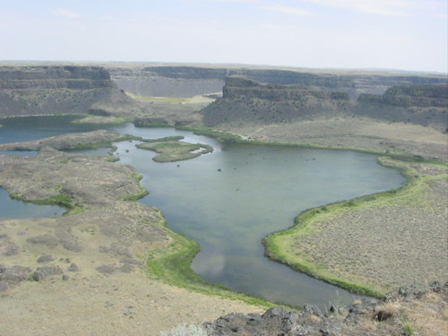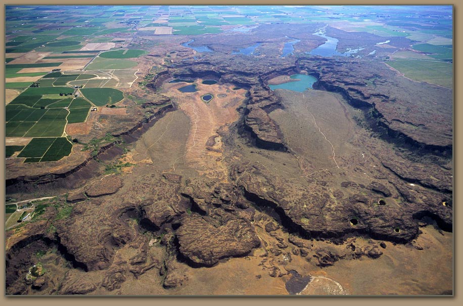
We have 50 cubic miles of earth eroded within 3 days. It eroded hundreds of feet of rock all the way down to the Columbia River Basalt Group.
So, here is the problem. How could water (even if it was moving at 45 miles per hour) erode solid rock hundreds of feet thick within 3 days? How do we know it was all solid rock? Most of it should be since the rock layers spanned from 10 million years ago to 15,000 years ago.
And another thing, why would it erode down to the basalt layer, and no deeper and no higher? Basalt and the the rocks above that are all solid rock. Why would there be any distinction of the basalt layer with any of the other rock strata above it?
There is only one reasonable explanation in my mind. The layers on top of the basalt were not solid rock when the flood occurred, but loose dirt. And if it was wet loose dirt then it would be even more plausible. So, the flood eroded the loose dirt and stopped the erosion at the solid rock underneath, the basalt layer.
This also is more consistent with all the curves we see from the erosion in the entire area.

https://hugefloods.com/Scablands.html
If the flood occurred over a flat surface of solid rock, we would not expect such curved patterns, but more of a straight shot erosion pattern.
Also note in the two photos above, there are columns in the middle of the eroded areas. Even if water could erode hundreds of feed of solid rock in several days, it should not leave those columns standing there.
https://debatingchristianity.com/forum/viewtopic.php?p=85381#p85381
